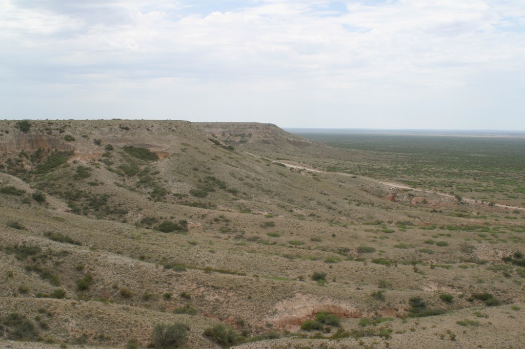
Mescalero Ridge is a name given to the geological feature that is part of the larger Caprock Escarpment. It begins in eastern Chaves County in New Mexico and runs for fifty miles roughly parallel to the county line of Lea County. Its name comes from the Mescalero Apache tribe who once resided and hunted in this general area. It is likely the most distinguishing landmark of the Lea County area.(1)
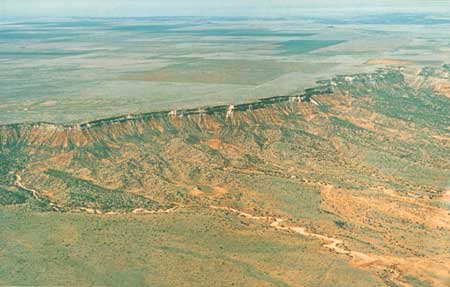
For illustrative purposes, below is an image of the same escarpment system located further north in the state.
(1) Julyan, Robert, “The Place Names of New Mexico,” University of New Mexico Press, 1998.

Leave a comment